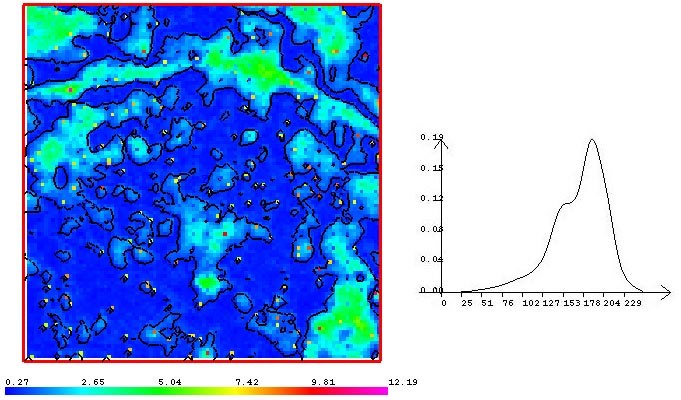
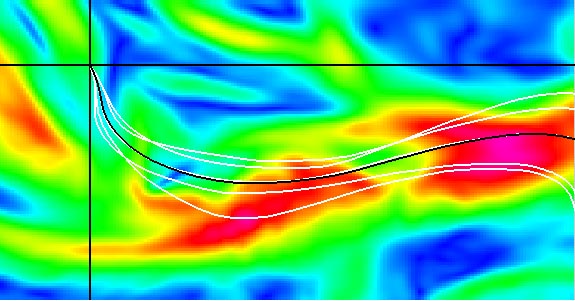
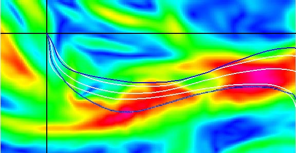
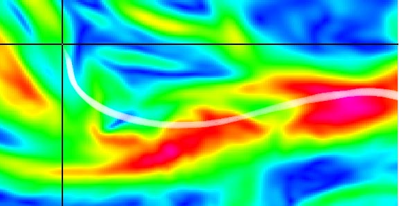
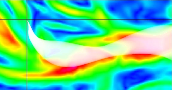
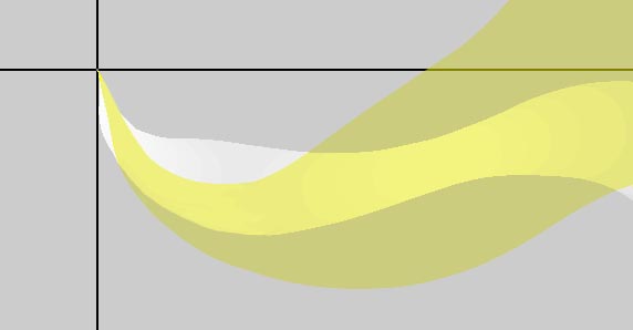
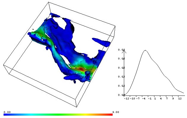
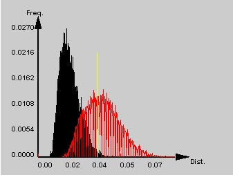
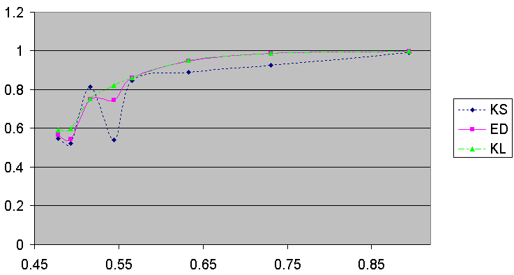
In this paper, we define distributions as a new data type and address the challenges of visualizing spatial distribution data sets. Numerous visualization techniques exist today for dealing with scalar data. That is, there is a scalar value at each spatial location, which may also be changing over time. Likewise, techniques exist for dealing with vector, tensor and multivariate data sets. However, there is currently no systematic way of dealing with distribution data where there is a collection of values for the same variable at every location and time. Distribution data is increasingly becoming more common as computers and sensor technologies continue to improve. They have also been used in a number of fields ranging from agriculture, engineering design and manufacturing to weather forecasting. Rather than developing specialized visualization techniques for dealing with distribution data, the approach presented in this paper is to find a systematic way of extending existing visualization methods to handle this new data type. For example, we would like to be able to generate isosurfaces of 3D scalar distribution data sets, or generate streamlines of vector distribution data sets. In order to accomplish this goal, we propose the use of a set of mathematically and procedurally defined operators that allow us to work directly on distributions. Color images can also be found in www.cse.ucsc.edu/research/avis/operator.html
|
|
|
|
|
|
|
|
|
|
|
|
|
|